Spring frost: how to anticipate, decide and protect your crops?
• 5 min read
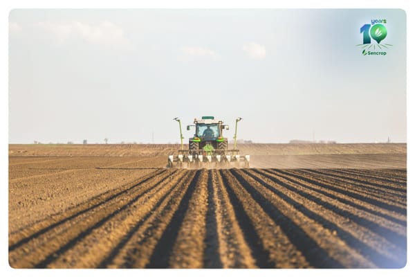
The period from February to April is quite paradoxical: the days get longer, temperatures rise, crops start growing again… and yet, this is when the risk of frost is most present.
It is often at this moment that everything is decided. A few hours of cold are enough to weaken buds in orchards, impact a vine at a sensitive stage, or compromise emergence in field crops. Spring frost is not exceptional: it is structural. What is different, however, is our ability to anticipate it.
Why does spring frost still surprise us?
The scenario is well known: a succession of mild days accelerates vegetative development, then a clear night sets in. The wind dies down, the sky clears, and the temperature drops rapidly after sunset.
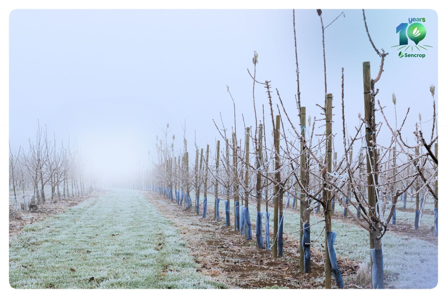
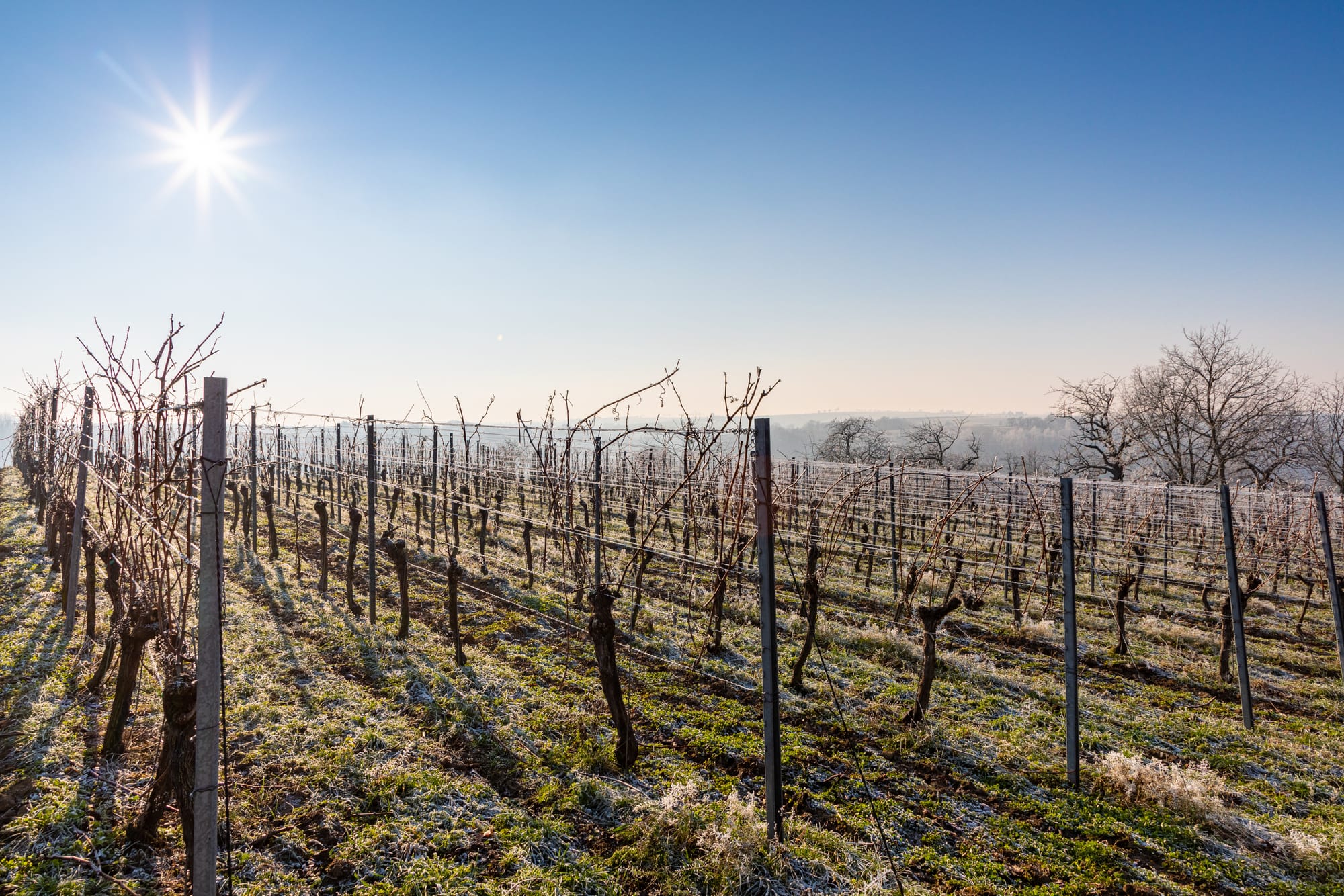
This is known as radiative frost. In these situations, the ground loses the heat it accumulated during the day, and cold air concentrates near the ground, particularly in low-lying areas. Over a few kilometers, the differences can be significant. A plot of land at the bottom of a valley can register several degrees cooler than a more exposed measurement point! The different types of frost and their development parameters
👉 This is precisely where the trap lies: general forecasts give a trend, but they don't always reflect the reality at the heart of the plot. And when it comes to frost, one or two degrees make all the difference.
The 3 weather indicators you absolutely must monitor
The temperature in the shade remains a key indicator, but it doesn't tell the whole story. To properly anticipate a frost event, you need to understand the dynamics of the night.
1️⃣ The temperature at the plot level
Differences between a national station and a plot of land can reach several degrees. Topography, proximity of hedges, soil moisture… the microclimate makes all the difference.
👉 A rapidly dropping temperature in the early evening is often a telltale sign. A quick drop after 7 or 8 p.m. should raise concern. The more pronounced the cooling in the first part of the night, the sooner the critical threshold may be reached.
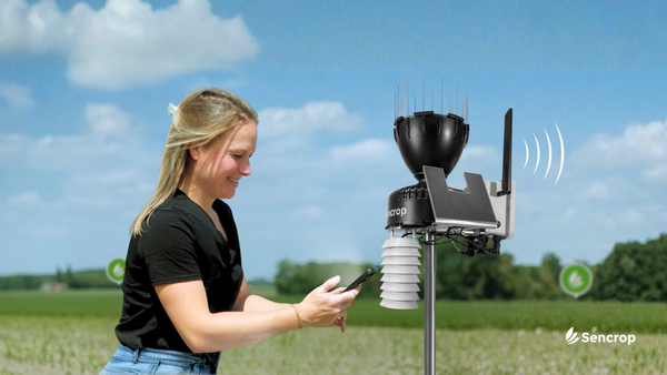
A connected station located at the heart of the operation allows:
To track the decline in real time
To detect an acceleration of cooling
To anticipate the critical moment
2️⃣ The dew point
The dew point indicates the temperature at which the moisture in the air will condense. It is also a valuable indicator in agriculture.
When it is close to the air temperature, it means that the humidity will condense: the risk of freezing is imminent.
Conversely, very dry air can accentuate the temperature drop. A small difference between temperature and dew point = maximum vigilance
💡
A small difference between temperature and dew point = maximum vigilance
This indicator is often what determines whether or not to intervene.
Wind also plays a crucial role. A perfectly calm night with little wind encourages the accumulation of cold air around crops. A slight mixing of the air can sometimes mitigate this, but it all depends on the local conditions.
Light winds → accumulation of cold air at ground level
Moderate wind → mixing that sometimes limits radiative freezing
High humidity → may slightly reduce cooling
It is these combined parameters that allow for a reliable reading of the situation, much more so than a simple figure announced at the departmental level.
Deciding to intervene: finding the right time
When faced with frost, the question is not only “will it freeze?” but rather “when should I act?”.
Activating protection too early wastes time, energy, and resources unnecessarily. But waiting too long can lead to irreversible damage. The challenge, therefore, is to identify that intermediate zone where a decision is still possible. 👉 So, what is the right approach?
Monitoring real-time data at the plot level and how quickly changes are occurring allows for greater flexibility.
Monitoring the gap with the dew point and analyzing wind stability helps to understand what type of frost it is, helps to define the method of control, to decide with more serenity.
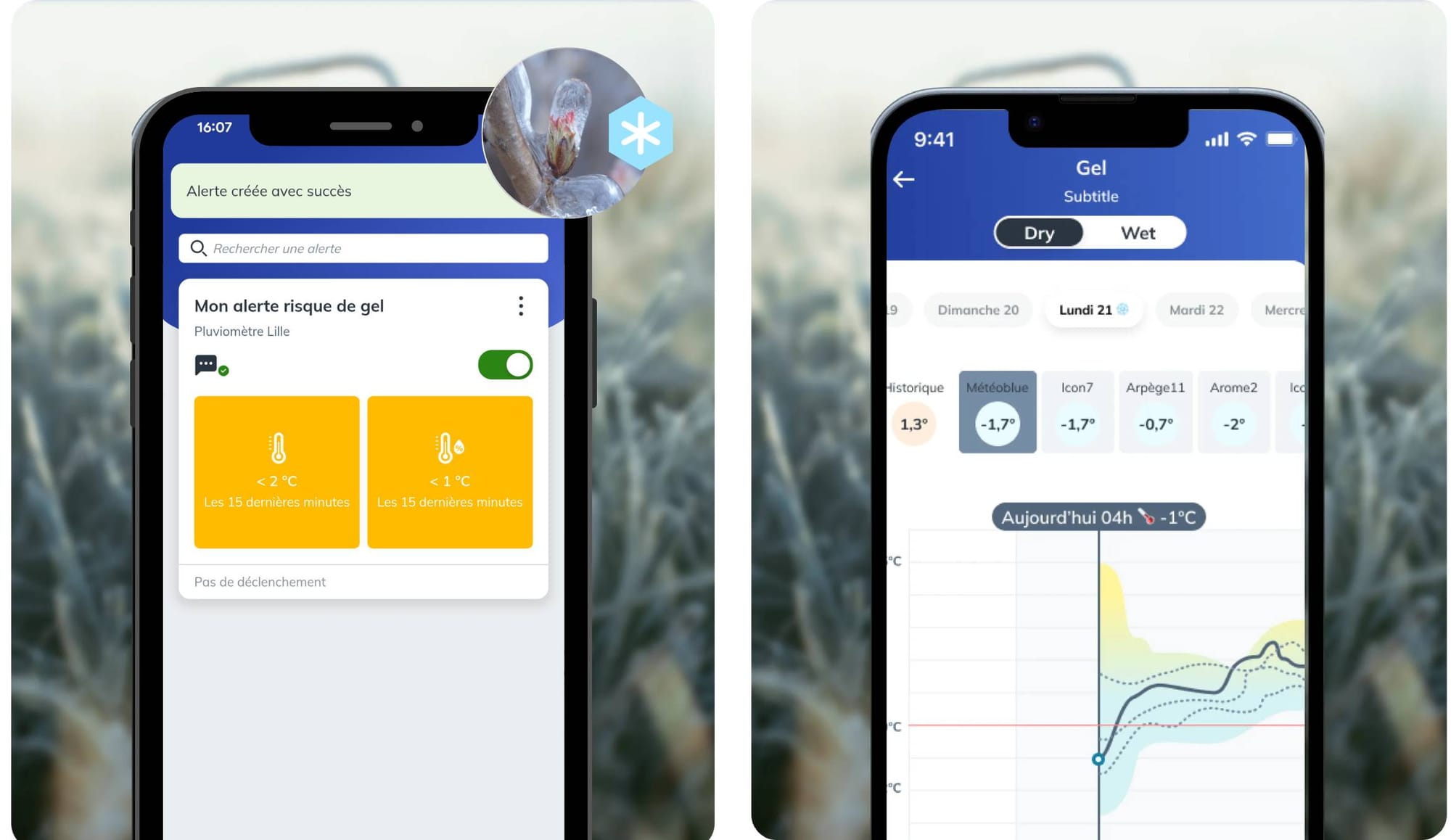
Exclusively on the Sencrop app, you can compare temperature forecasts from different models. This allows you to identify trends and extremes, enabling you to better anticipate future weather.
If you have a Sencrop weather station, remember to activate a frost alert before the critical threshold is reached. This will allow you to anticipate the activation of your systems and be alerted so you can act at the optimal time. The goal is not just to detect frost, but to have a window of opportunity for decision-making. In practice, a few minutes of anticipation often make all the difference.
💡
The goal is not just to observe the frost, but to have some leeway for decision-making. In practice, a few minutes of anticipation often make all the difference.
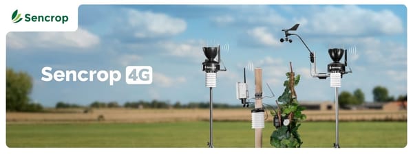
Sencrop app: Frost alert and comparison of forecast models
Frost and phytosanitary treatments: an often underestimated link
A frost episode does not end at sunrise: the consequences can last for several days.
Stressed plant tissues become more susceptible, and certain opportunistic diseases then find favorable conditions for their development. The windows of opportunity for intervention may narrow, particularly if humidity remains high or if wind limits treatment options.
Combining temperature, humidity, and wind data allows for strategy adjustments after a cold spell. 💡 Here again, the accuracy of local measurements provides real support for decision-making.
In conclusion
Spring frost will remain a major risk. But it is no longer an unpredictable inevitability.
Having reliable data at the plot level profoundly changes how we approach these critical nights. It allows us to anticipate, secure our decisions, and optimize our interventions.
In March, the countryside is often built in the shadow of cool nights. Better understanding what happens between sunset and sunrise is already a way to protect the coming season.
🔎 To learn more:
Check your frost alert thresholds in your app
View the history of previous episodes
Set up your personalized alerts
The Sencrop team
Share this article
A newsletter on weather and Ag-Tech
Twice a month, news on agricultural weather, ag-tech, and Sencrop innovations to enlighten you and help you make better decisions every day. Subscribe now! 👇